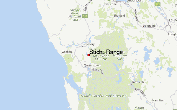
The Sticht Range is a mountain range located in the West Coast region of Tasmania, Australia. The range runs between two tributaries of the Eldon River and is located within the eastern part of the West Coast Range and has an unnamed peak with an elevation of 1,080 metres (3,540 ft) above sea level.
It was named after Robert Carl Sticht, the manager of the Mount Lyell Mining and Railway Company.
It was affected by the 2016 Tasmanian bushfires
Features and access
The range can be viewed from the Hydro Tasmania built road (B24) at Lake Plimsoll. It is a cambrian formation range.
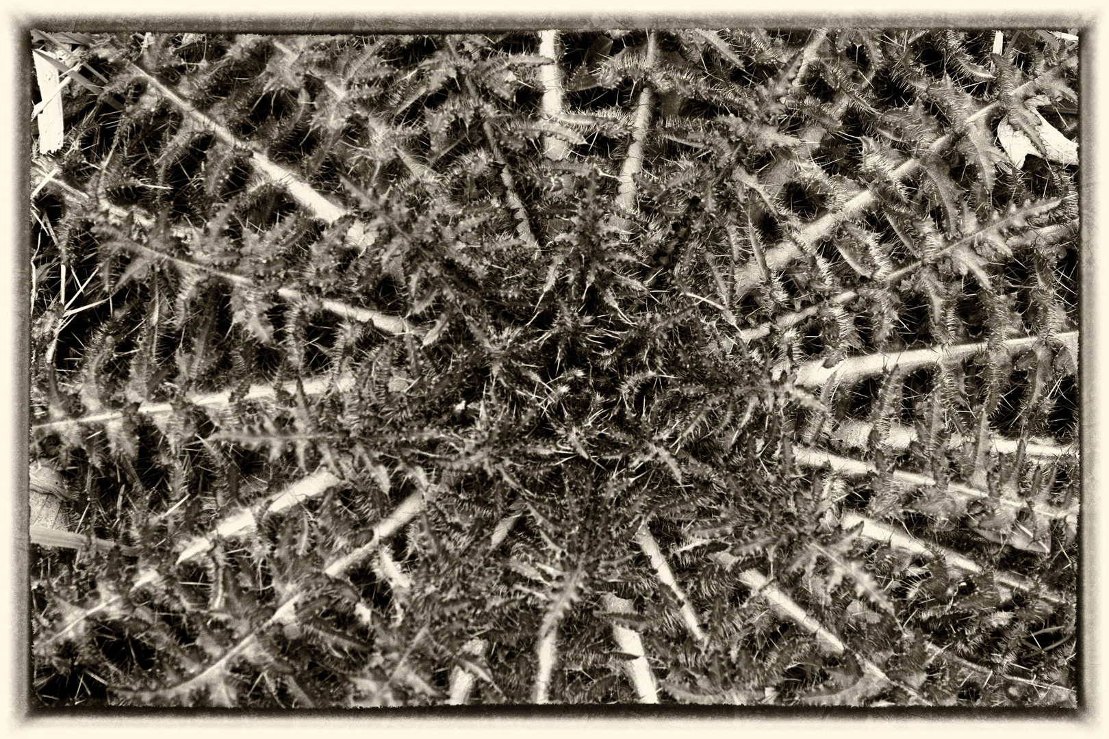
The threatened plant Orites milliganii, a member of the family Proteaceae, may be located in the range.
See also
- List of highest mountains of Tasmania
References
Further reading
- Blainey, Geoffrey (2000). The Peaks of Lyell (6th ed.). Hobart: St. David's Park Publishing. ISBN 0-7246-2265-9.
- Whitham, Charles. Western Tasmania: A Land of Riches and Beauty.
- Sophia, Selina (Map). Tasmap, Government of Tasmania. § 881604.
External links
- West Coast Range on Google Maps
- https://web.archive.org/web/20060821115426/http://www.parks.tas.gov.au/wha/wherein/detail.html - context of World Heritage Area